File list
From Far Western Ethno Wiki
This special page shows all uploaded files.
| Name | Thumbnail | Size | User | Description | Versions | |
|---|---|---|---|---|---|---|
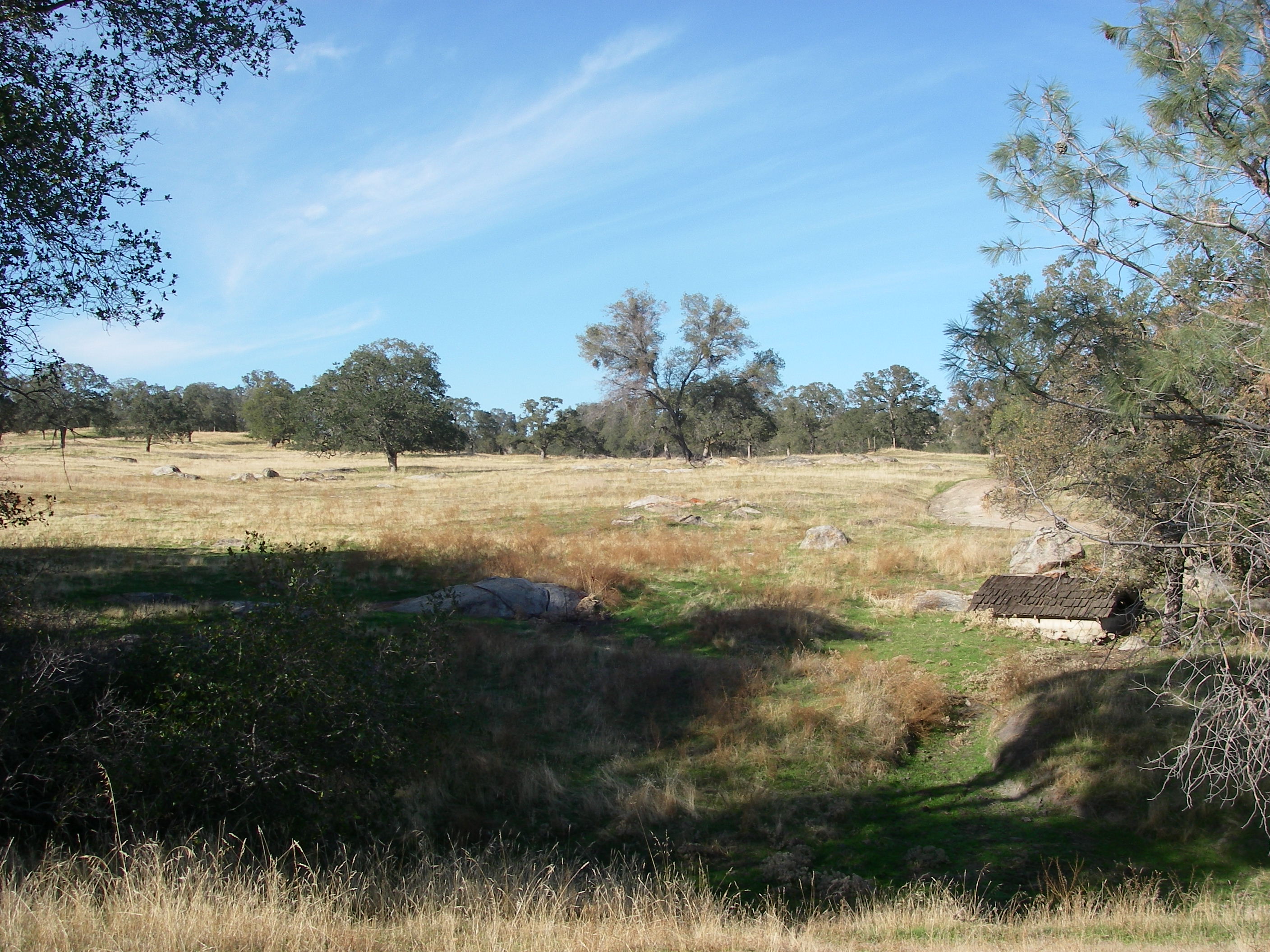
| 20:16, 27 July 2010 | Topo SilverCr.png (file) |  |
74 KB | Shannon | Topographic map of Silver Creek region. | 1 |
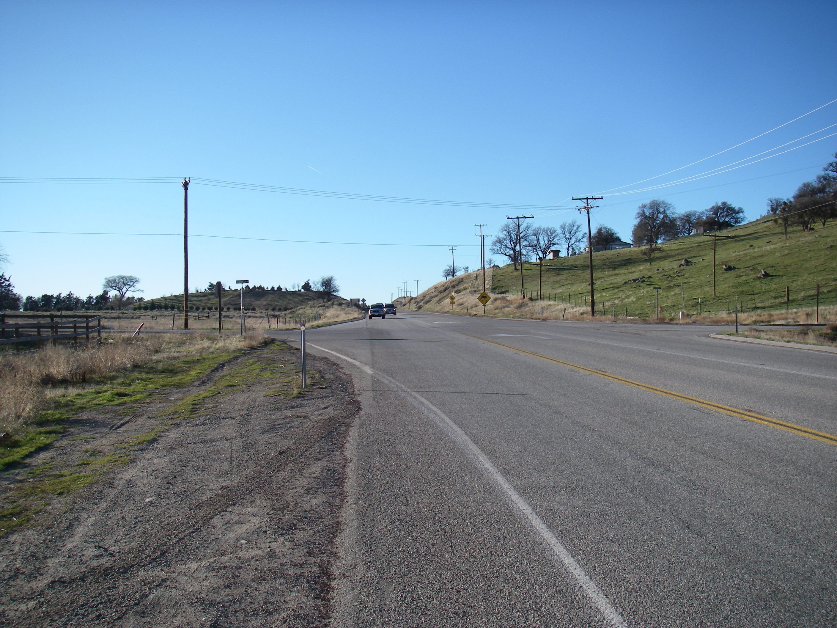
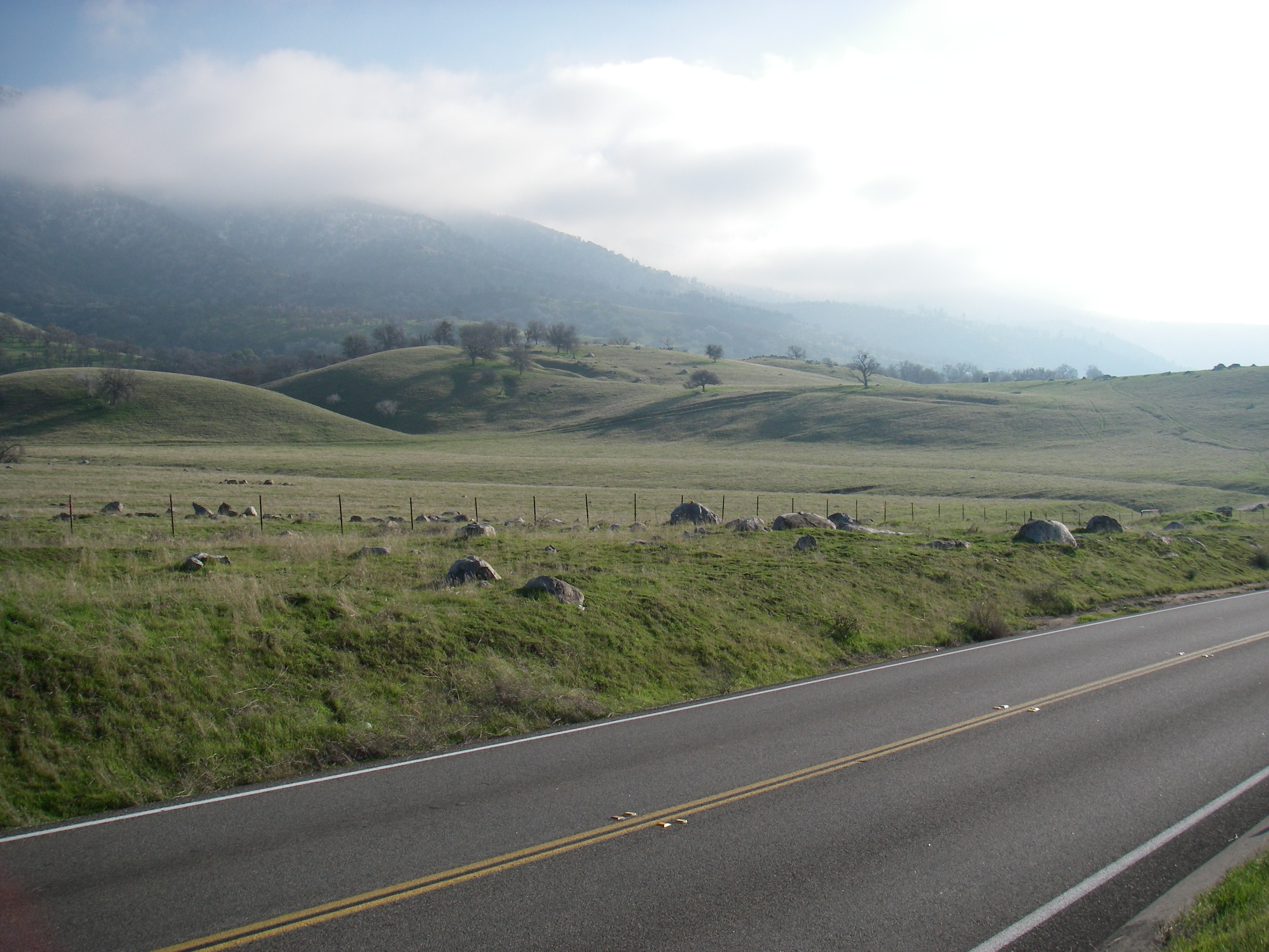
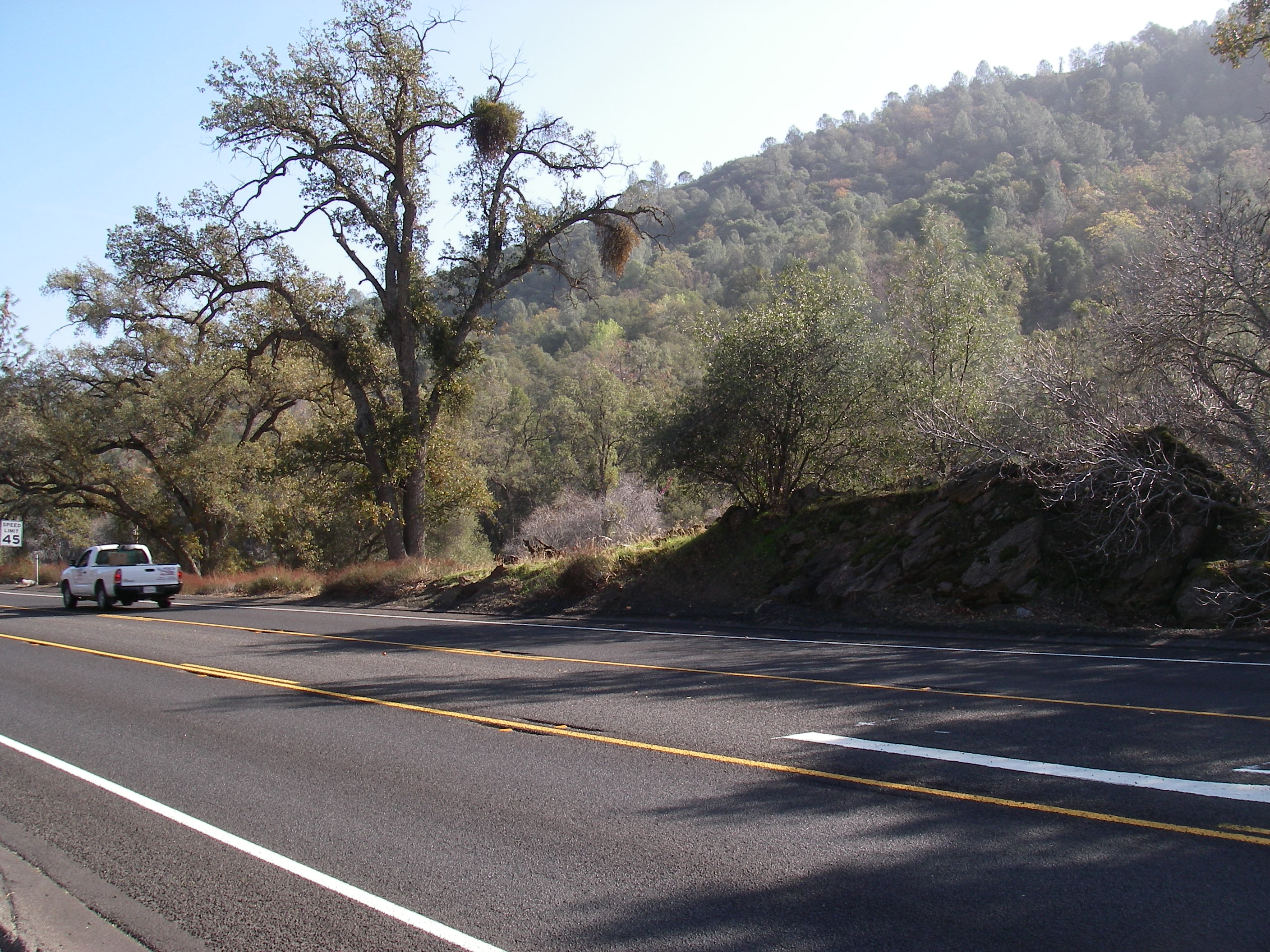
| 20:13, 27 July 2010 | Photo Tehachapi.jpg (file) |  |
1.07 MB | Shannon | Photo of Tehachapi region along Route 202. | 1 |
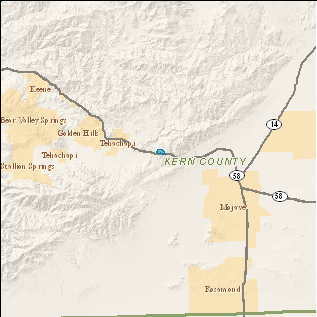
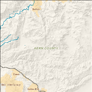
| 20:12, 27 July 2010 | Region Tehachapi.png (file) |  |
26 KB | Shannon | Region map of Tehachapi. | 1 |
| 20:12, 27 July 2010 | Topo Tehachapi.png (file) |  |
91 KB | Shannon | Topographic map of Tehachapi region. | 1 |
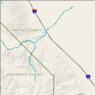
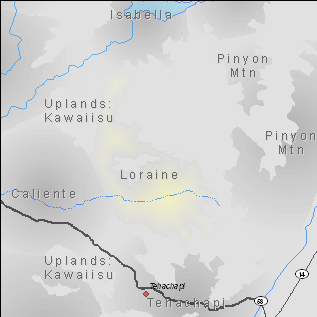
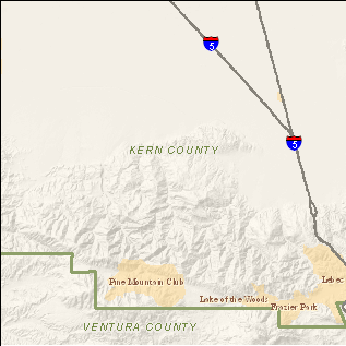
| 20:08, 27 July 2010 | Region Loraine.png (file) |  |
28 KB | Shannon | Region map of Loraine. | 1 |
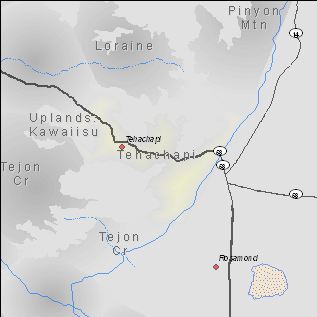
| 20:08, 27 July 2010 | Topo Loraine.png (file) |  |
111 KB | Shannon | Topographic map of Loraine region. | 1 |
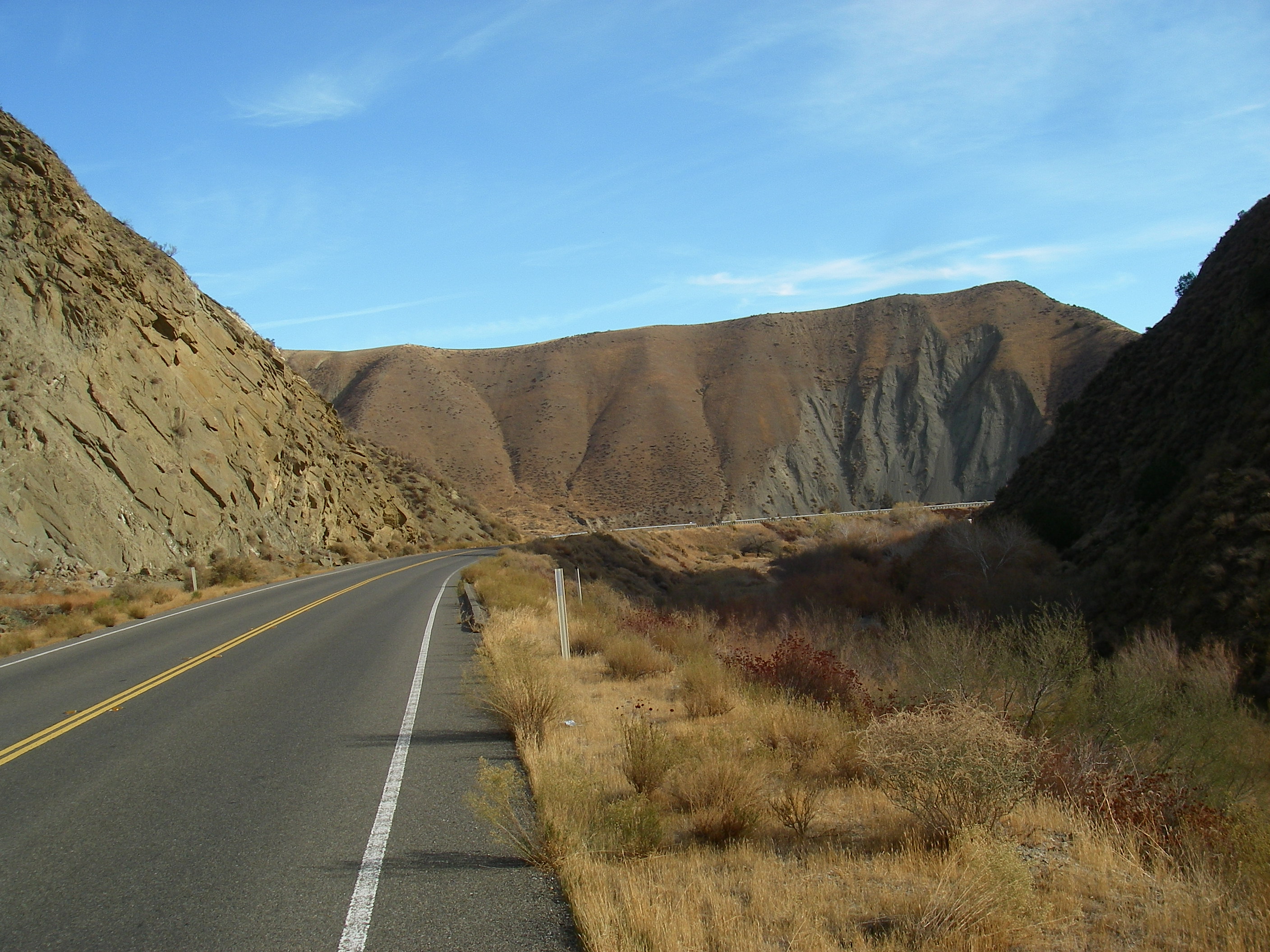
| 20:06, 27 July 2010 | Photo Caliente2.jpg (file) |  |
1.08 MB | Shannon | Photo of Caliente region along Route 223. | 1 |
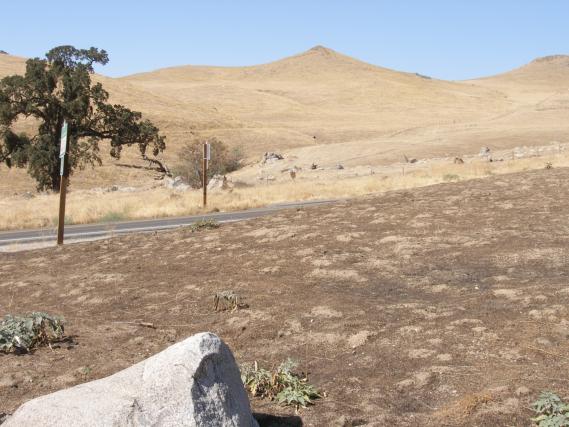
| 20:05, 27 July 2010 | Photo Caliente.jpg (file) |  |
49 KB | Shannon | Photo of Caliente region along Route 223. | 1 |
| 20:05, 27 July 2010 | Region Caliente.png (file) |  |
34 KB | Shannon | Region map of Caliente. | 1 |
| 20:05, 27 July 2010 | Topo Caliente.png (file) |  |
104 KB | Shannon | Topographic map of Caliente region. | 1 |
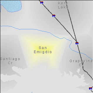
| 20:00, 27 July 2010 | Region GrapevineCr.png (file) |  |
30 KB | Shannon | Region map of Grapevine Creek. | 1 |
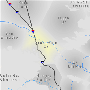
| 19:59, 27 July 2010 | Topo GrapevineCr.png (file) |  |
90 KB | Shannon | Topographic map of Grapevine Creek region. | 1 |
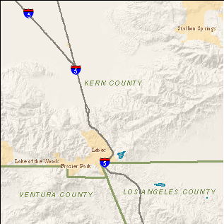
| 19:58, 27 July 2010 | Region SanEmigdio.png (file) |  |
23 KB | Shannon | Region map of San Emigdio. | 1 |
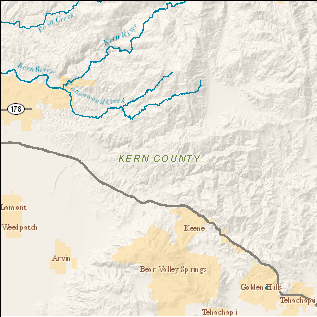
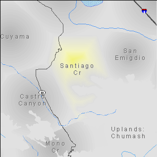
| 19:57, 27 July 2010 | Topo SanEmigdio.png (file) |  |
66 KB | Shannon | Topographic map of San Emigdio region. | 1 |
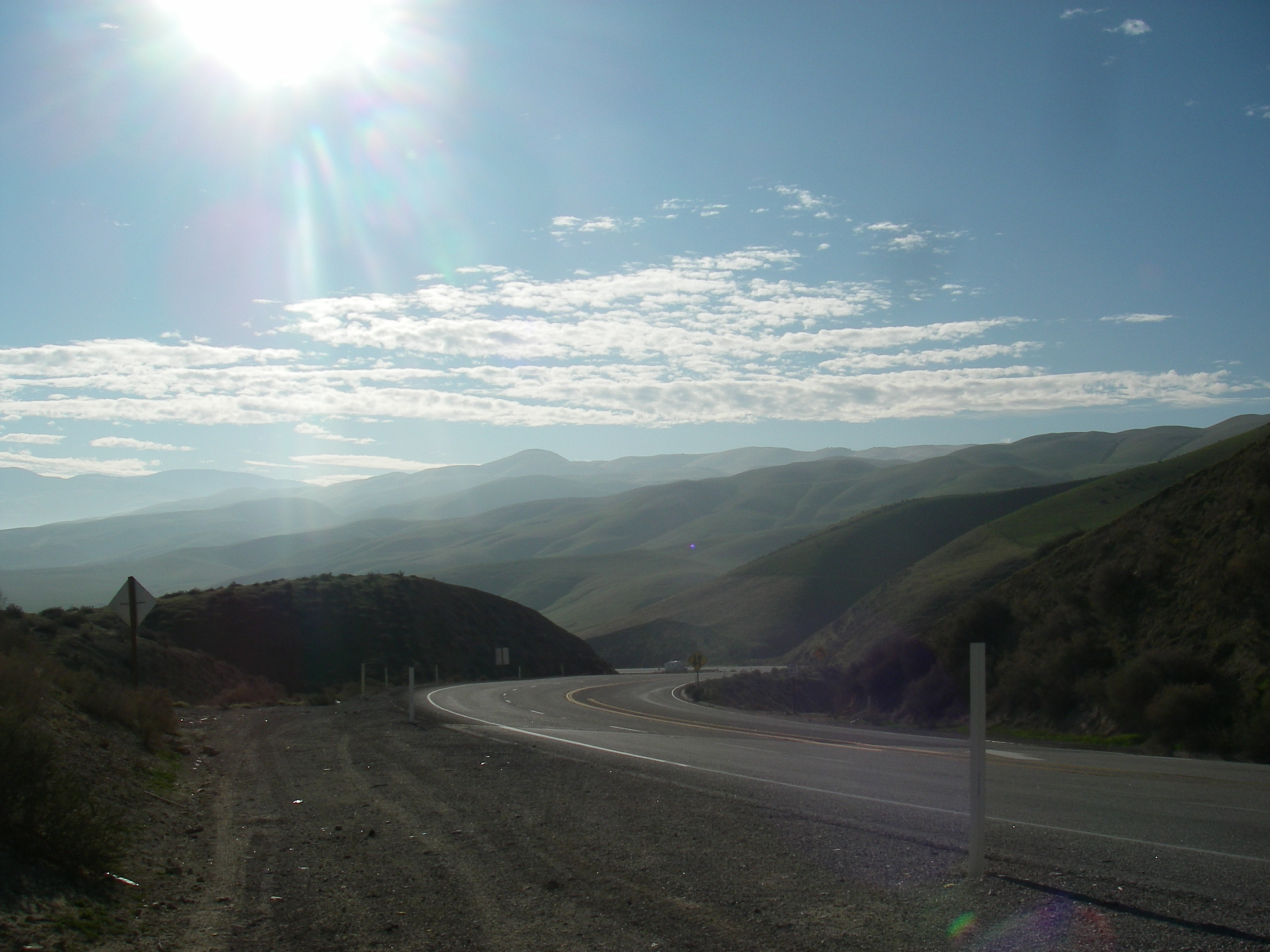
| 19:55, 27 July 2010 | Photo SantiagoCr.jpg (file) |  |
1.16 MB | Shannon | Photo of Santiago Creek region along Route 33. | 1 |
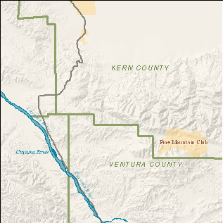
| 19:53, 27 July 2010 | Region SantiagoCr.png (file) |  |
26 KB | Shannon | Region map of Santiago Creek region. | 1 |
| 19:53, 27 July 2010 | Topo SantiagoCr.png (file) |  |
92 KB | Shannon | Topographic map of the Santiago Creek region. | 1 |
| 22:31, 26 July 2010 | Vol13-cover.png (file) |  |
141 KB | Shannon | Volume 13. | 1 |
| 21:54, 26 July 2010 | Vol13-fig1.png (file) |  |
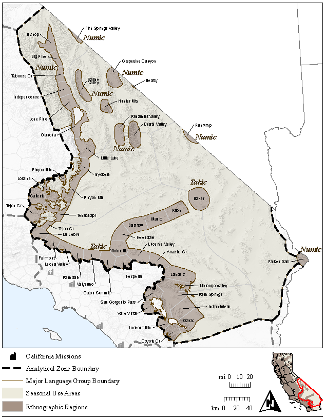
326 KB | Shannon | Southeast Analytical Zone with Regions. | 1 |
| 21:53, 26 July 2010 | Vol11-fig1.png (file) |  |
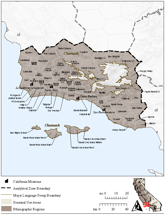
315 KB | Shannon | Santa Barbara Channel Analytical Zone with Regions. | 1 |
| 21:46, 26 July 2010 | Vol11-cover.png (file) |  |
145 KB | Shannon | Volume 11. | 1 |
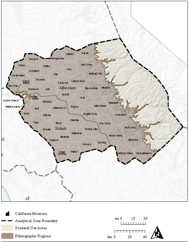
| 20:23, 26 July 2010 | Vol8-fig1.png (file) |  |
287 KB | Shannon | Delta/North San Joaquin Analytical Zone with Regions. | 1 |
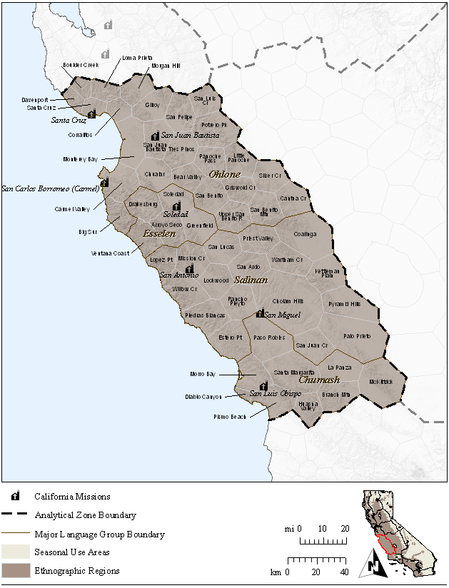
| 20:22, 26 July 2010 | Vol10-fig1.png (file) |  |
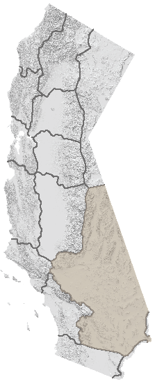
203 KB | Shannon | South Coast Ranges Analytical Zone with Regions. | 1 |
| 20:01, 26 July 2010 | Vol10-cover.png (file) |  |
145 KB | Shannon | Volume 10. | 1 |
| 19:18, 26 July 2010 | Vol8-cover.png (file) |  |
145 KB | Shannon | Volume 8 | 1 |
| 20:24, 10 March 2010 | Nipinnawassee Photo2.jpg (file) |  |
1.13 MB | Ggmoser | Original file at P:\Projects\District 6 and 9 TEA (Fresno)\Photos and Logs\MAD-41\IMGP1410_1_1.jpg | 1 |
| 20:23, 10 March 2010 | Nipinnawassee Photo1.jpg (file) |  |
1.18 MB | Ggmoser | Original file at P:\Projects\District 6 and 9 TEA (Fresno)\Photos and Logs\MAD-41\IMGP0961_1_1.jpg | 1 |
| 20:18, 10 March 2010 | Kerman Photo2.jpg (file) |  |
1.24 MB | Ggmoser | Original file at P:\Projects\District 6 and 9 TEA (Fresno)\Photos and Logs\FRE-180\IMGP0993_1_1.jpg | 1 |
| 20:17, 10 March 2010 | Kerman Photo1.jpg (file) |  |
1.12 MB | Ggmoser | Original file at P:\Projects\District 6 and 9 TEA (Fresno)\Photos and Logs\FRE-145\IMGP1528_1_1.jpg | 1 |
| 20:14, 10 March 2010 | Herndon Photo2.jpg (file) |  |
1.12 MB | Ggmoser | Original file at P:\Projects\District 6 and 9 TEA (Fresno)\Photos and Logs\MAD-145\IMGP1529_1_1.jpg | 1 |
| 20:13, 10 March 2010 | Herndon Photo1.jpg (file) |  |
1.19 MB | Ggmoser | Original file at P:\Projects\District 6 and 9 TEA (Fresno)\Photos and Logs\MAD-41\IMGP1409_1_1.jpg | 1 |
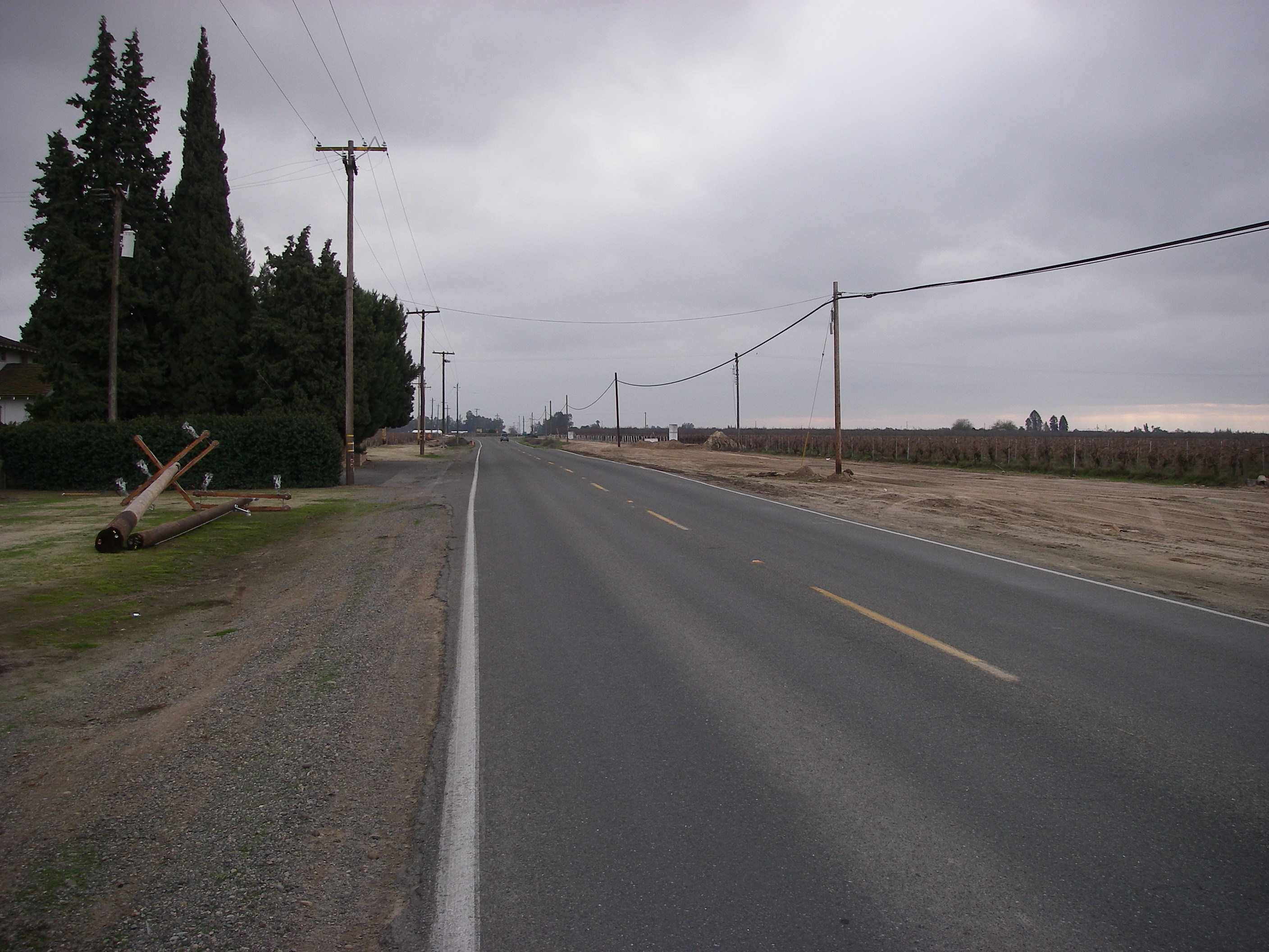
| 20:08, 10 March 2010 | Friant Photo2.jpg (file) |  |
1.1 MB | Ggmoser | Original file at P:\Projects\District 6 and 9 TEA (Fresno)\Photos and Logs\MAD-41\IMGP1411_1_1.jpg | 1 |
| 20:07, 10 March 2010 | Friant Photo1.jpg (file) |  |
1.14 MB | Ggmoser | Original file at C:\Documents and Settings\shannon\Desktop\TempPhotos\Friant\MAD-41\IMGP1408_1_1.jpg | 1 |
| 20:04, 10 March 2010 | Firebaugh Photo1.jpg (file) |  |
1.18 MB | Ggmoser | Original at P:\Projects\District 6 and 9 TEA (Fresno)\Photos and Logs\FRE-33\IMGP0991_1_1.jpg | 1 |
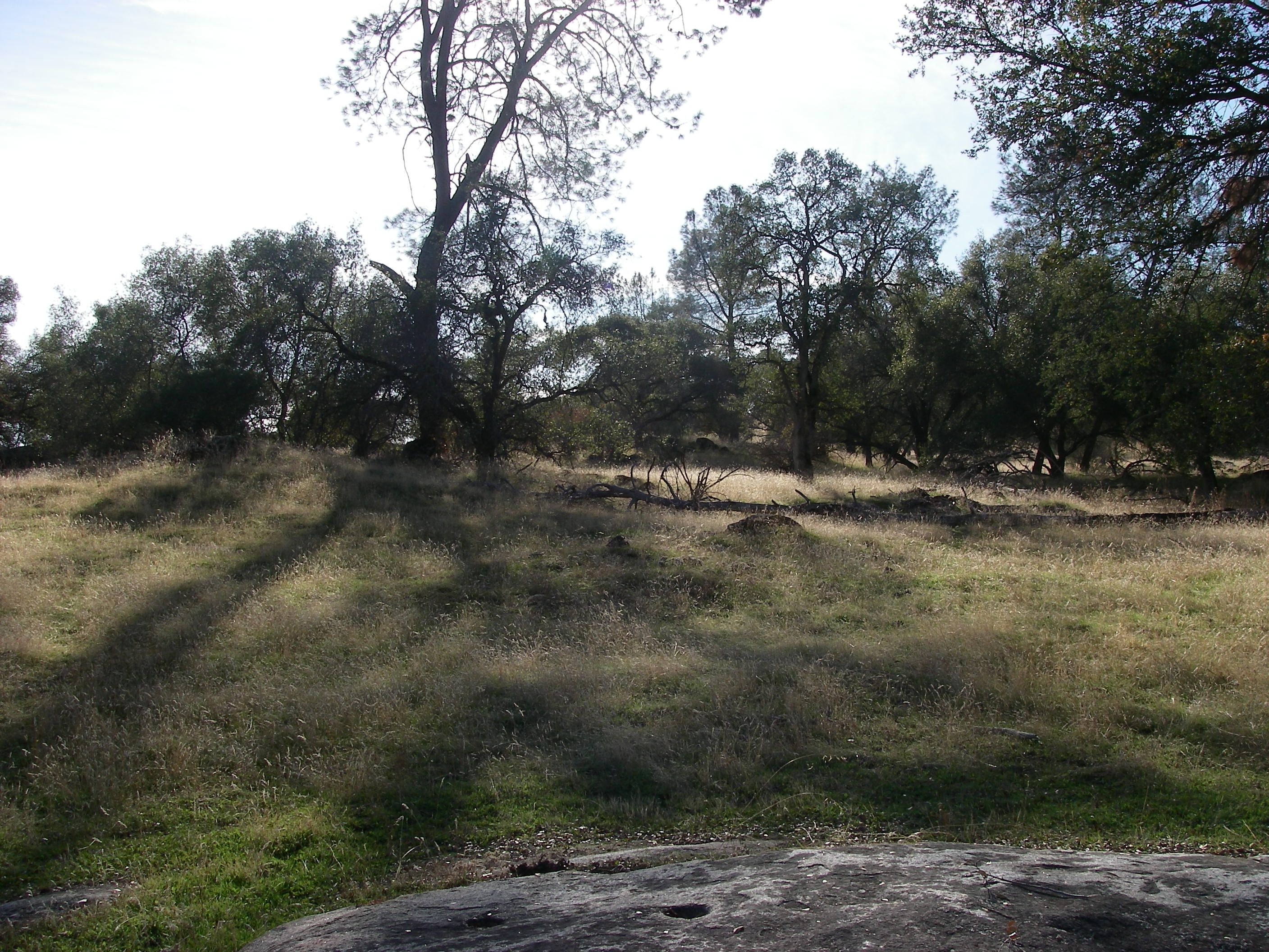
| 19:51, 10 March 2010 | Coarse Gold Photo2.jpg (file) |  |
1.17 MB | Ggmoser | Original file at P:\Projects\District 6 and 9 TEA (Fresno)\Photos and Logs\MAD-41IMGP1414_1_1.jpg | 1 |
| 19:50, 10 March 2010 | Coarse Gold Photo1.jpg (file) |  |
1.18 MB | Ggmoser | Original file at P:\Projects\District 6 and 9 TEA (Fresno)\Photos and Logs\MAD-41\IMGP0947_1_1.jpg | 1 |
| 18:44, 10 March 2010 | Santa Rita1.png (file) |  |
26 KB | Ggmoser | 1 | |
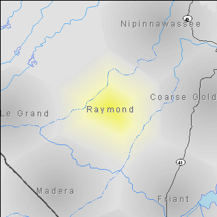
| 18:44, 10 March 2010 | Raymond1.png (file) |  |
28 KB | Ggmoser | 1 | |
| 18:44, 10 March 2010 | Oro Loma1.png (file) |  |
32 KB | Ggmoser | 1 | |
| 18:44, 10 March 2010 | North Fork1.png (file) |  |
24 KB | Ggmoser | 1 | |
| 18:43, 10 March 2010 | Nipinnawasse1.png (file) |  |
23 KB | Ggmoser | 1 | |
| 18:43, 10 March 2010 | Madera1.png (file) |  |
32 KB | Ggmoser | 1 | |
| 18:43, 10 March 2010 | Le Grand1.png (file) |  |
23 KB | Ggmoser | 1 | |
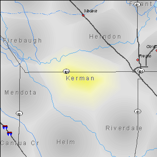
| 18:43, 10 March 2010 | Kerman1.png (file) |  |
37 KB | Ggmoser | 1 | |
| 18:42, 10 March 2010 | Friant1.png (file) |  |
31 KB | Ggmoser | 1 | |
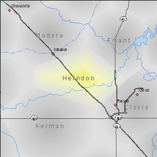
| 18:06, 10 March 2010 | Herndon1.png (file) |  |
33 KB | Ggmoser | 1 | |
| 18:04, 10 March 2010 | Herdon1.png (file) |  |
33 KB | Ggmoser | 1 | |
| 18:03, 10 March 2010 | Dairyland1.png (file) |  |
26 KB | Ggmoser | 1 | |
| 18:03, 10 March 2010 | Coarse Gold1.png (file) |  |
31 KB | Ggmoser | 1 | |
| 17:54, 10 March 2010 | Firebaugh1.png (file) |  |
36 KB | Ggmoser | 1 |
First page |
Previous page |
Next page |
Last page |