File list
From Far Western Ethno Wiki
This special page shows all uploaded files.
| Name | Thumbnail | Size | User | Description | Versions | |
|---|---|---|---|---|---|---|
| 21:13, 27 July 2010 | Topo PriestValley.png (file) |  |
114 KB | Shannon | Topographic map of Priest Valley region. | 1 |
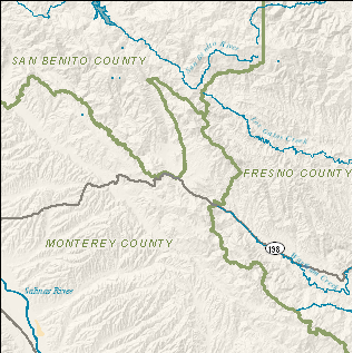
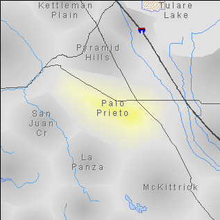
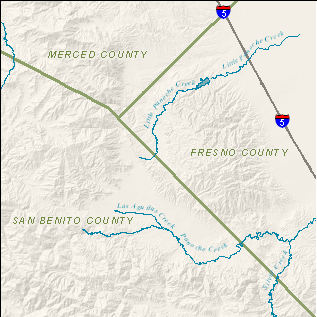
| 21:12, 27 July 2010 | Region PaloPrieto.png (file) |  |
33 KB | Shannon | Region map of Palo Prieto. | 1 |
| 21:11, 27 July 2010 | Topo PaloPrieto.png (file) |  |
64 KB | Shannon | Topographic map of Palo Prieto region. | 1 |
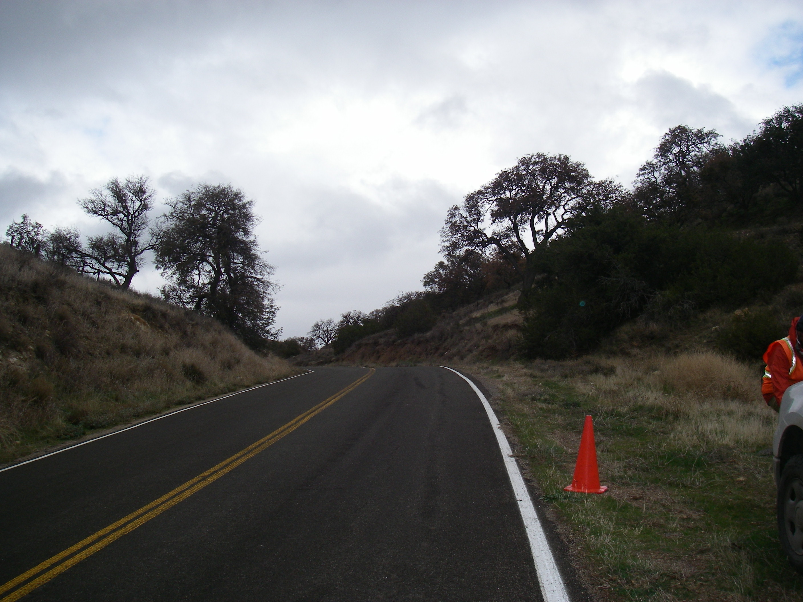
| 20:33, 27 July 2010 | Photo McKittrick2.jpg (file) |  |
1.09 MB | Shannon | Photo of McKittrick region along Route 58. | 1 |
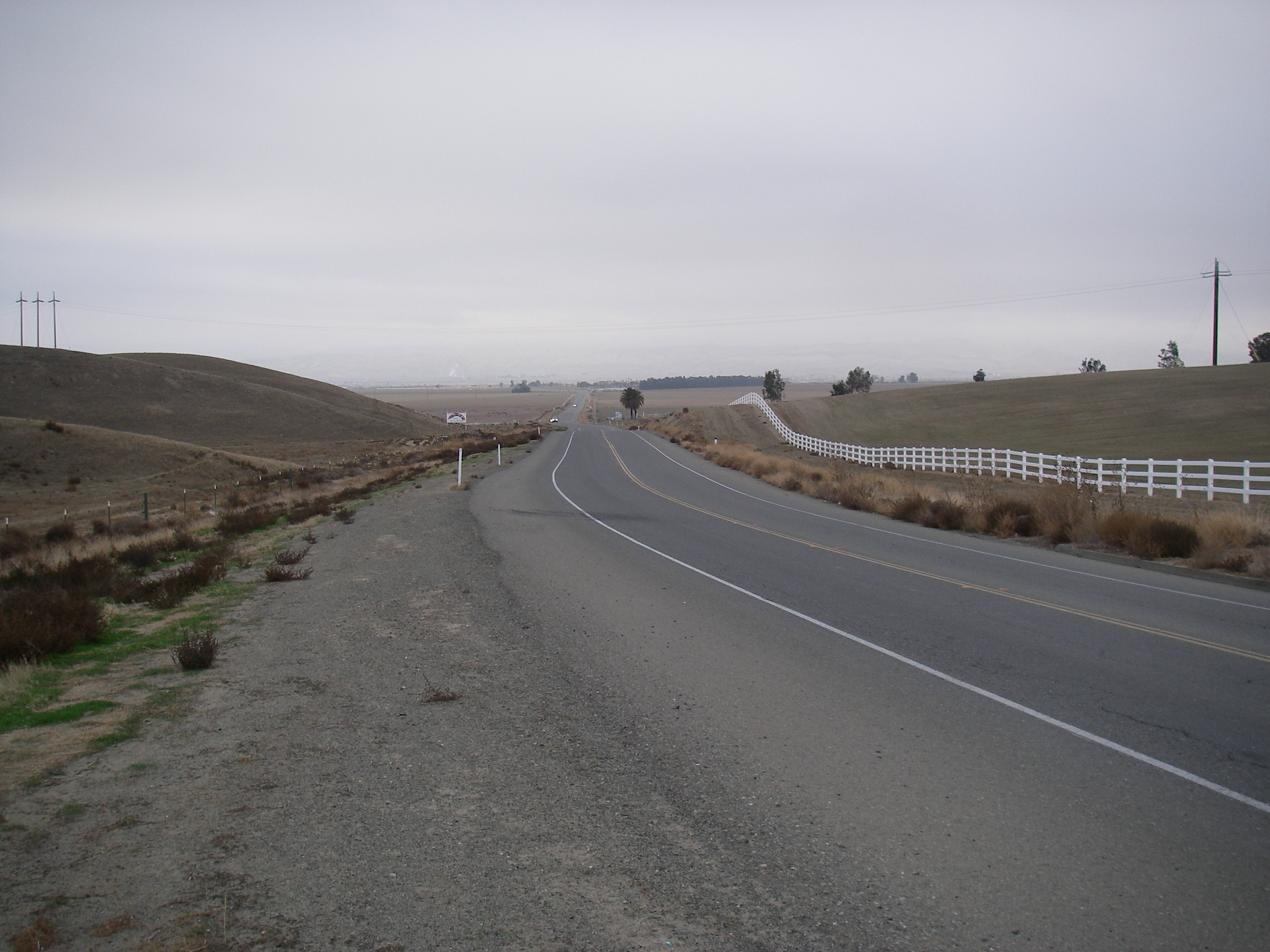
| 20:33, 27 July 2010 | Photo McKittrick.jpg (file) |  |
1.15 MB | Shannon | Photo of McKittrick region along Route 58. | 1 |
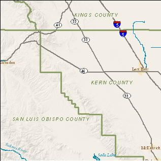
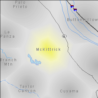
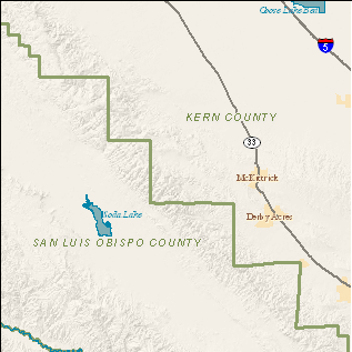
| 20:33, 27 July 2010 | Region McKittrick.png (file) |  |
30 KB | Shannon | Region map of McKittrick. | 1 |
| 20:32, 27 July 2010 | Topo McKittrick.png (file) |  |
74 KB | Shannon | Topographic map of McKittrick region. | 1 |
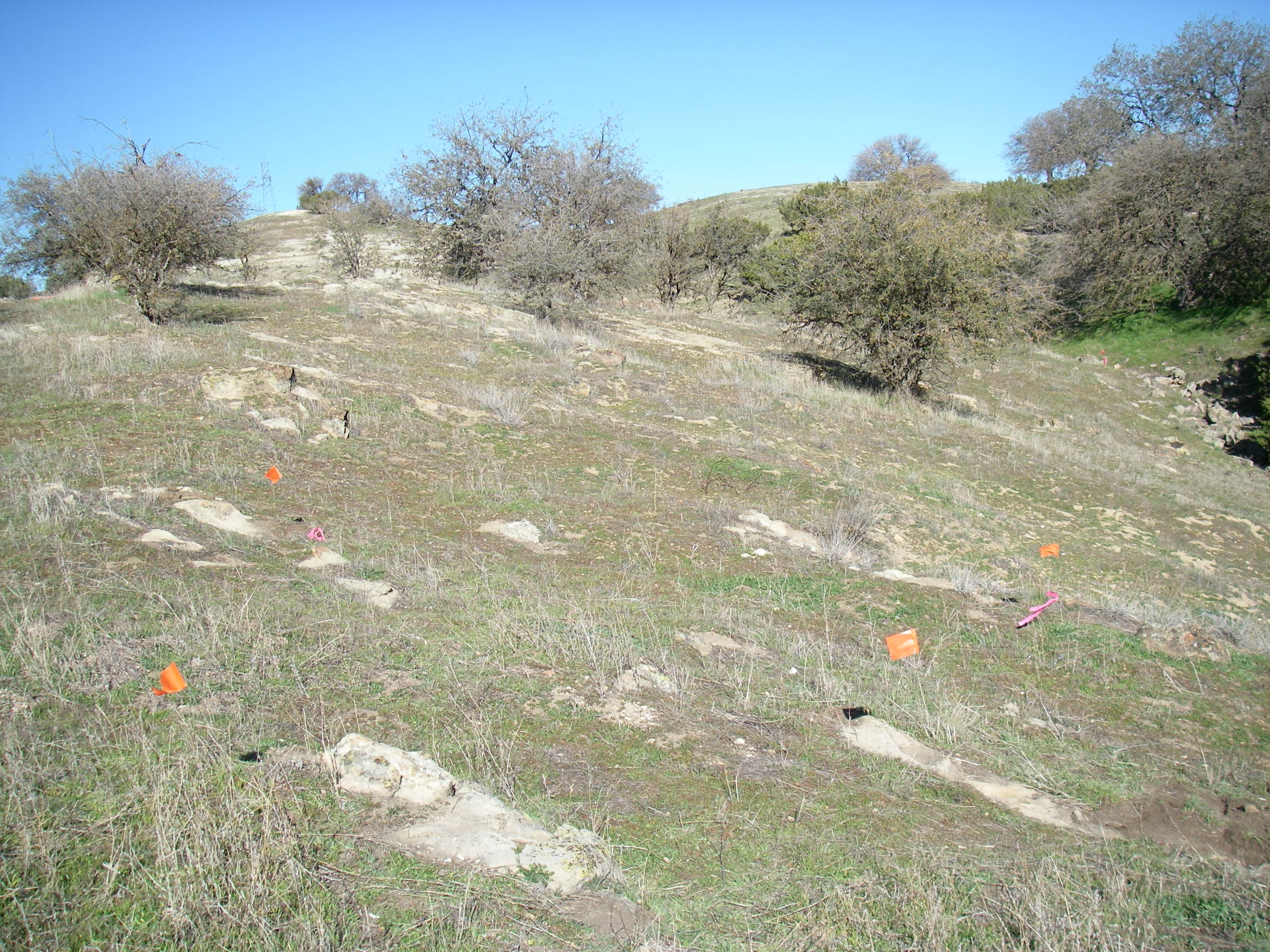
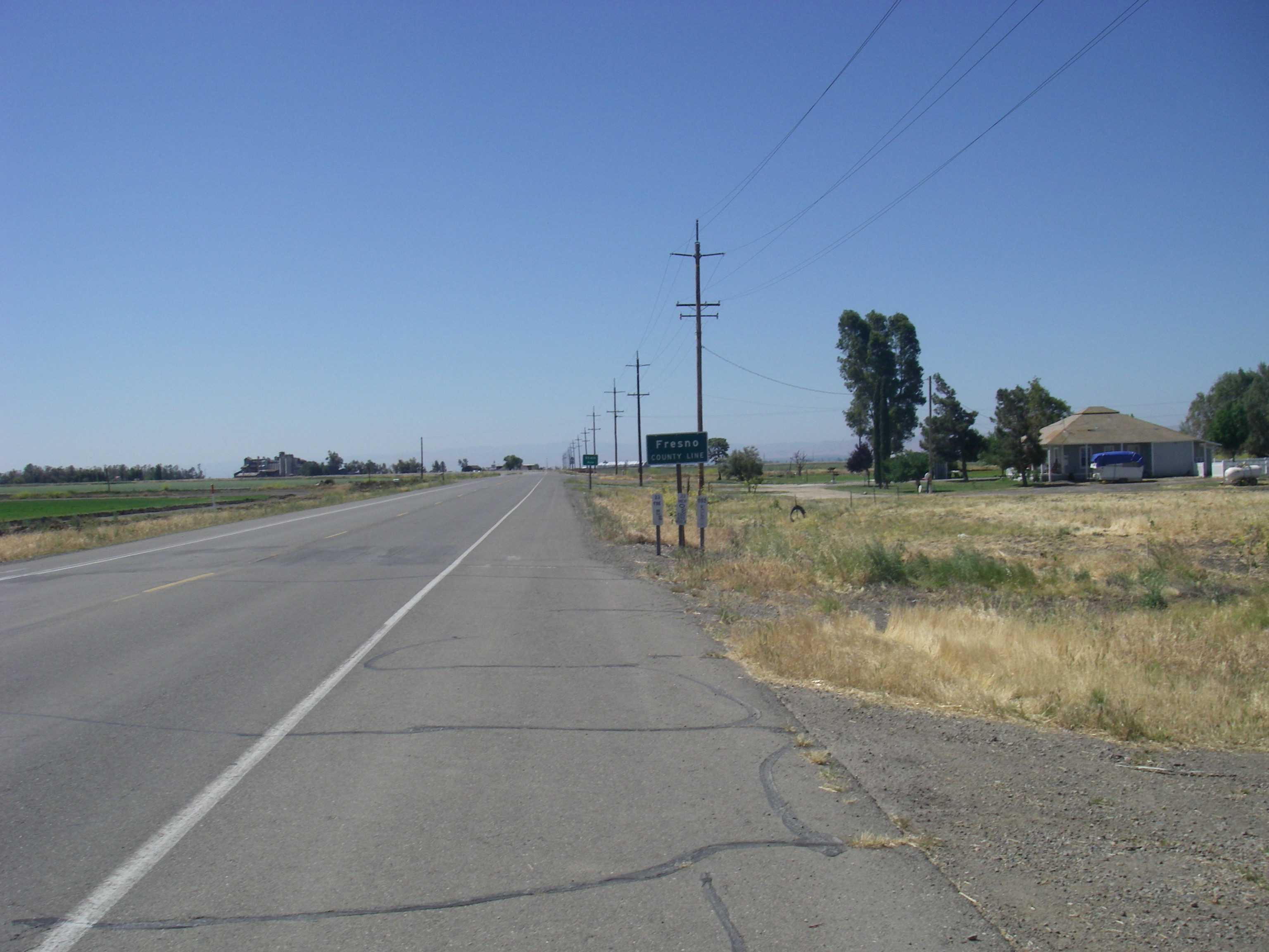
| 20:31, 27 July 2010 | Photo Coalinga2.jpg (file) |  |
1.15 MB | Shannon | Photo of Coalinga region along Route 33. | 1 |
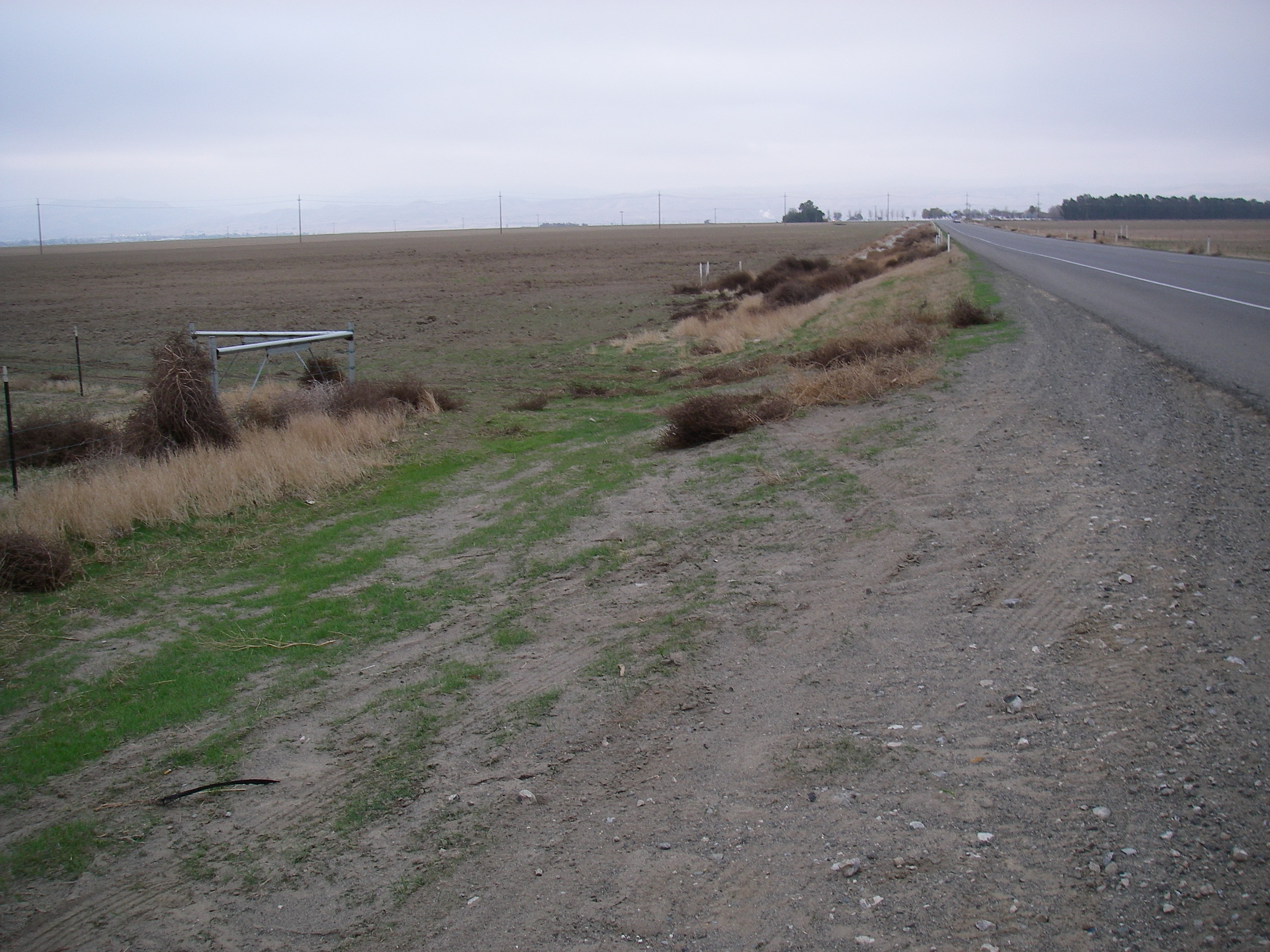
| 20:30, 27 July 2010 | Photo Coalinga.jpg (file) |  |
1.17 MB | Shannon | Photo of Coalinga region along Route 33. | 1 |
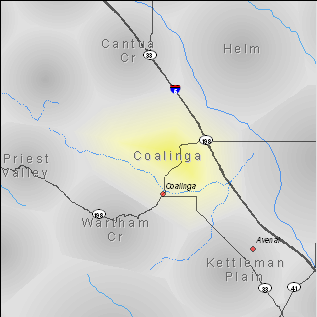
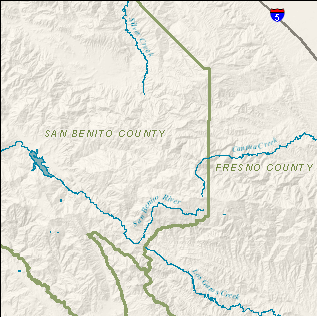
| 20:30, 27 July 2010 | Region Coalinga.png (file) |  |
36 KB | Shannon | Region map of Coalinga. | 1 |
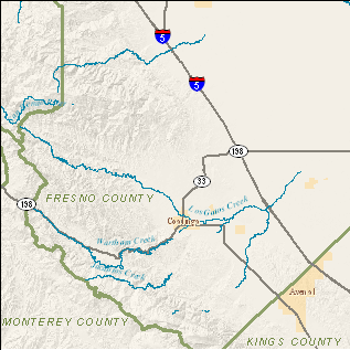
| 20:30, 27 July 2010 | Topo Coalinga.png (file) |  |
85 KB | Shannon | Topographic map of Coalinga region. | 1 |
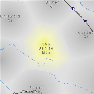
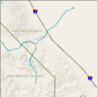
| 20:27, 27 July 2010 | Region SanBenitoMtn.png (file) |  |
27 KB | Shannon | Region map of San Benito Mountain. | 1 |
| 20:27, 27 July 2010 | Topo SanBenitoMtn.png (file) |  |
107 KB | Shannon | Topographic region of San Benito Mountain region. | 1 |
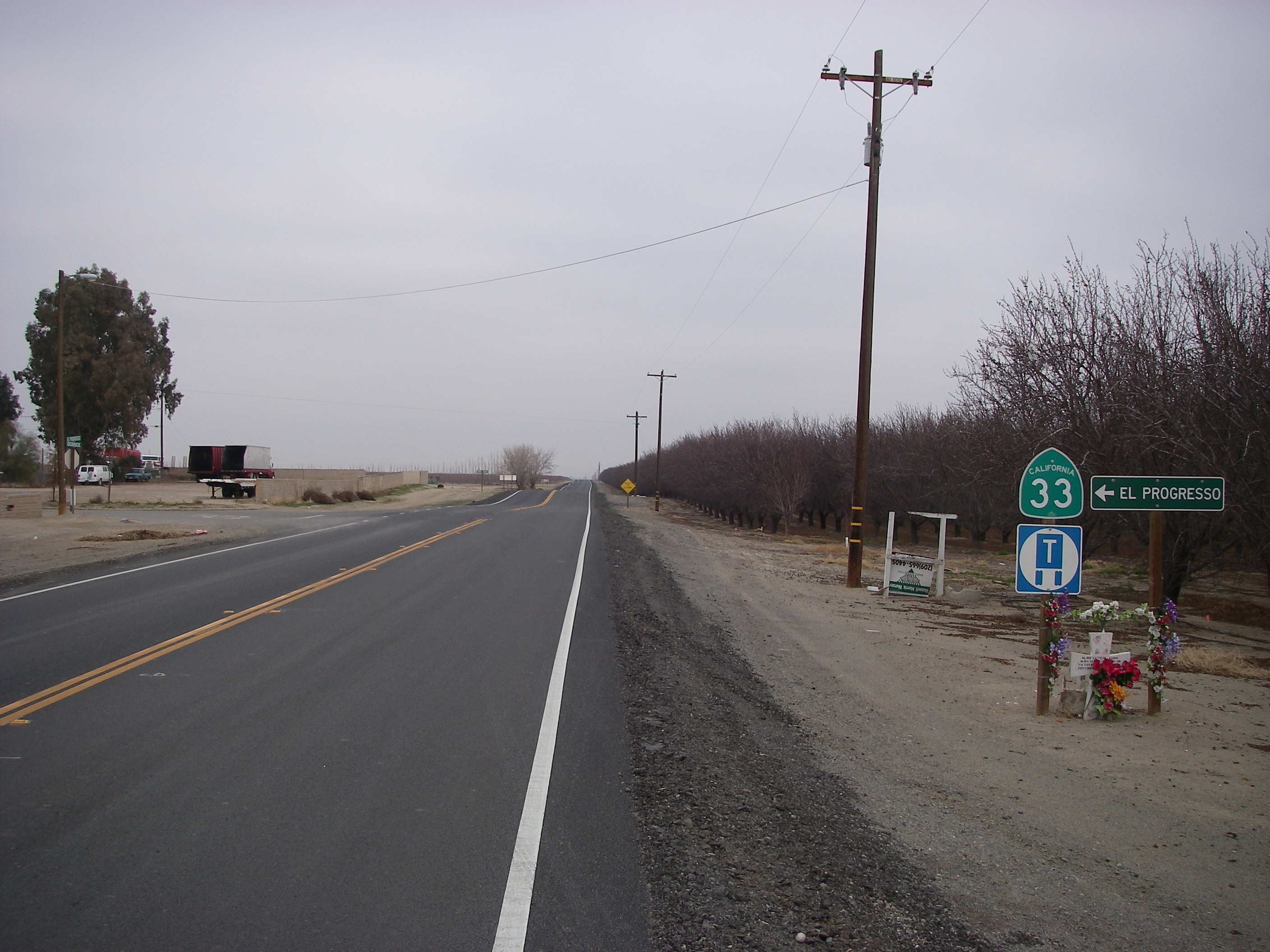
| 20:23, 27 July 2010 | Photo CantuaCr2.jpg (file) |  |
1.16 MB | Shannon | Photo of Cantua Creek along Route 33. | 1 |
| 20:23, 27 July 2010 | Photo CantuaCr.jpg (file) |  |
1.12 MB | Shannon | Photo of Cantua Creek along Route 33. | 1 |
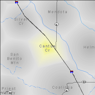
| 20:22, 27 July 2010 | Region CantuaCr.png (file) |  |
29 KB | Shannon | Region map of Cantua Creek. | 1 |
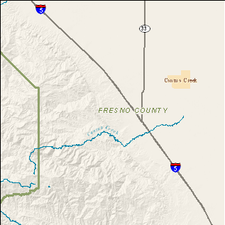
| 20:22, 27 July 2010 | Topo CantuaCr.png (file) |  |
69 KB | Shannon | Topographic map of Cantua Creek region. | 1 |
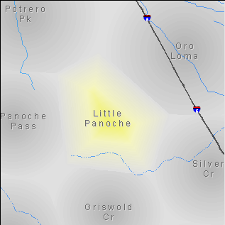
| 20:18, 27 July 2010 | Region LittlePanoche.png (file) |  |
25 KB | Shannon | Region map of Little Panoche. | 1 |
| 20:18, 27 July 2010 | Topo LittlePanoche.png (file) |  |
99 KB | Shannon | Topographic map of Little Panoche region. | 1 |
| 20:17, 27 July 2010 | Region SilverCr.png (file) |  |
28 KB | Shannon | Region map of Silver Creek. | 1 |
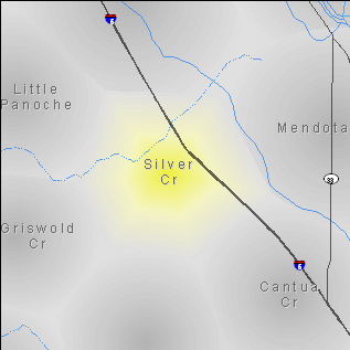
| 20:16, 27 July 2010 | Topo SilverCr.png (file) |  |
74 KB | Shannon | Topographic map of Silver Creek region. | 1 |
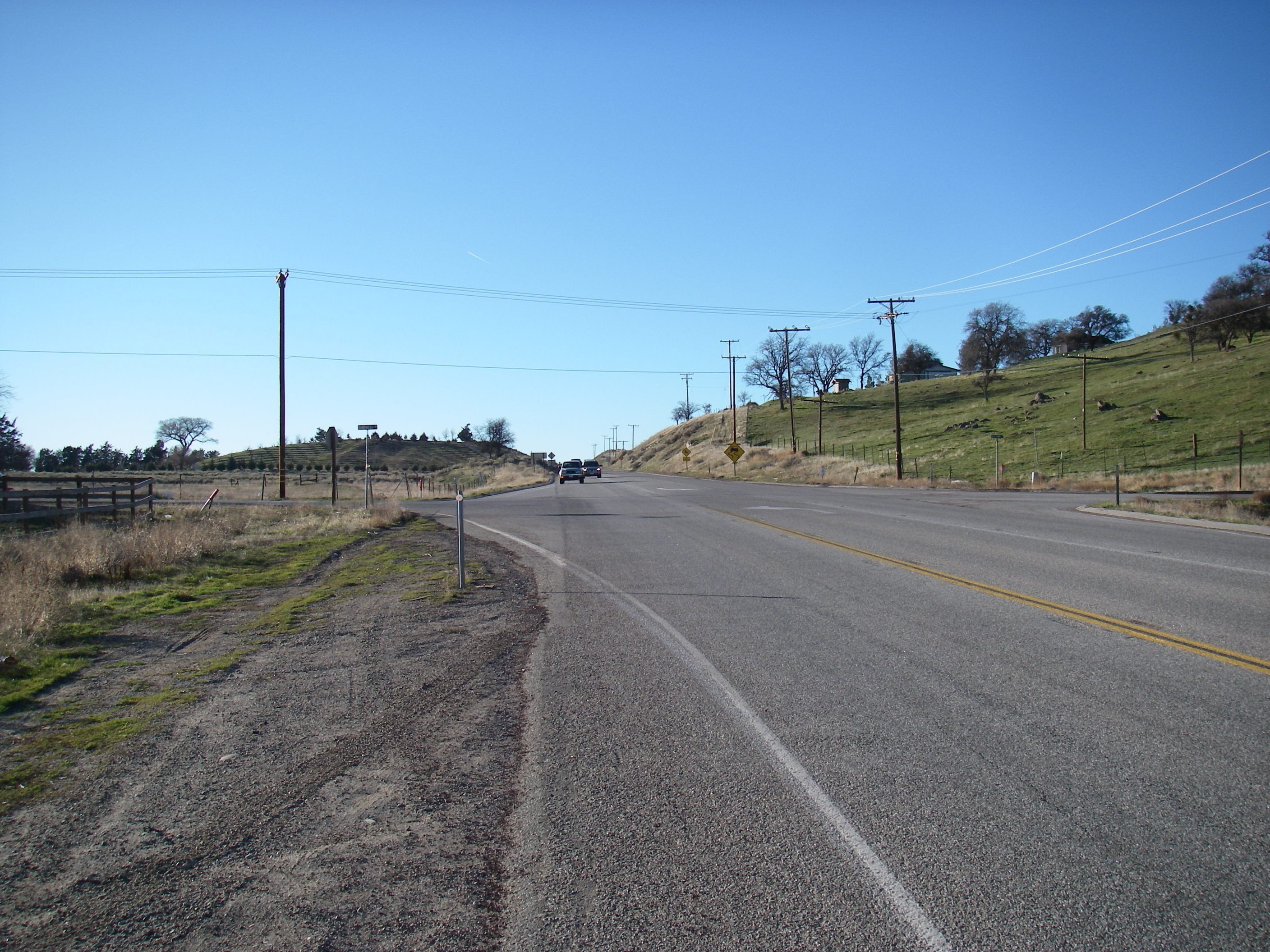
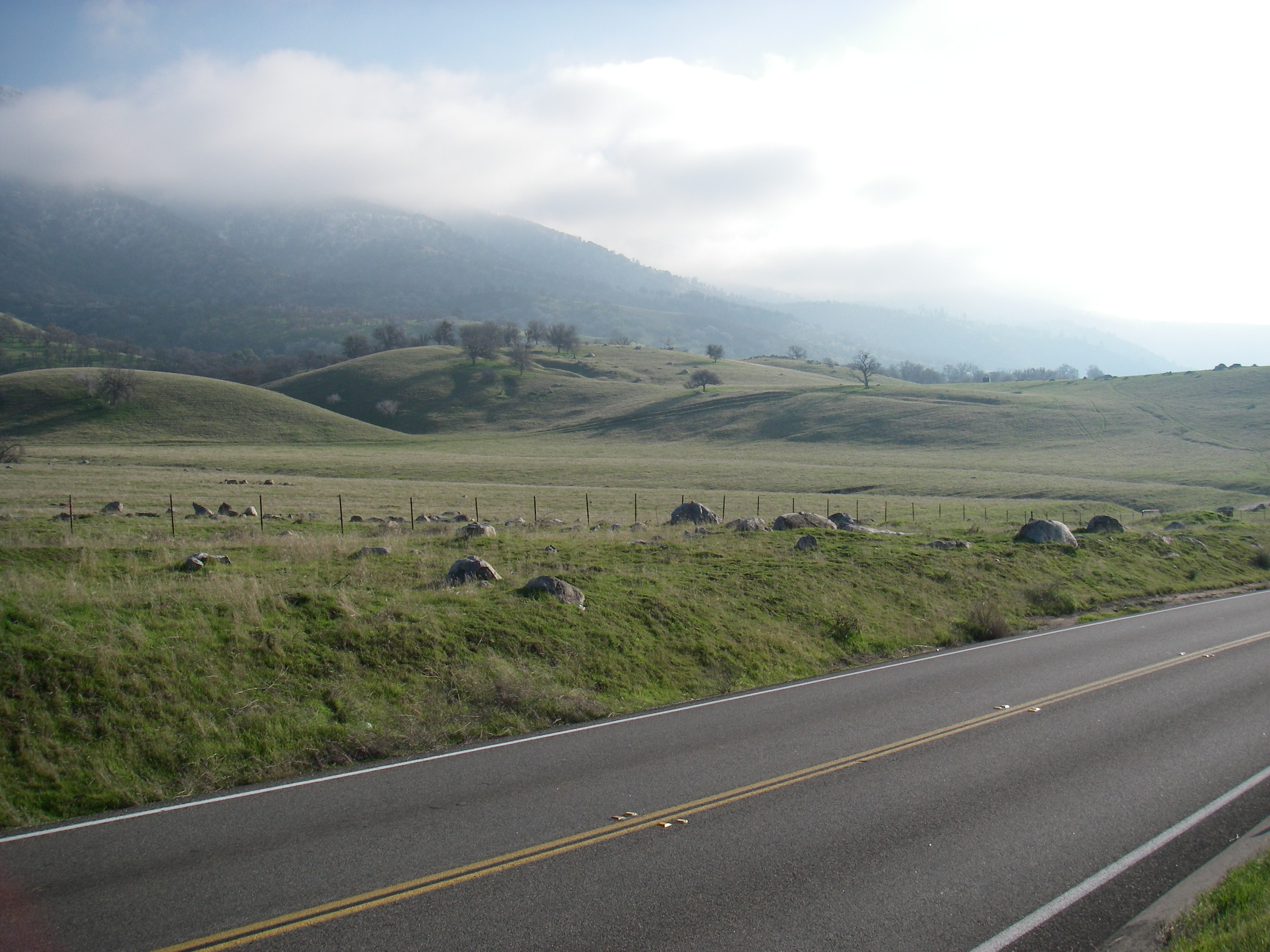
| 20:13, 27 July 2010 | Photo Tehachapi.jpg (file) |  |
1.07 MB | Shannon | Photo of Tehachapi region along Route 202. | 1 |
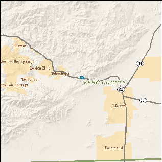
| 20:12, 27 July 2010 | Region Tehachapi.png (file) |  |
26 KB | Shannon | Region map of Tehachapi. | 1 |
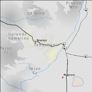
| 20:12, 27 July 2010 | Topo Tehachapi.png (file) |  |
91 KB | Shannon | Topographic map of Tehachapi region. | 1 |
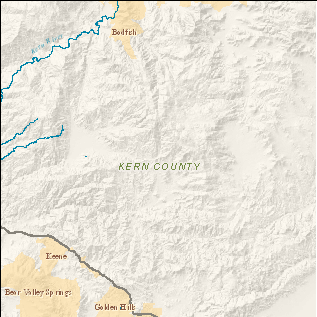
| 20:08, 27 July 2010 | Region Loraine.png (file) |  |
28 KB | Shannon | Region map of Loraine. | 1 |
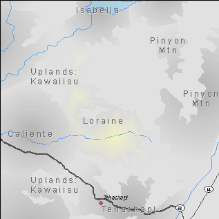
| 20:08, 27 July 2010 | Topo Loraine.png (file) |  |
111 KB | Shannon | Topographic map of Loraine region. | 1 |
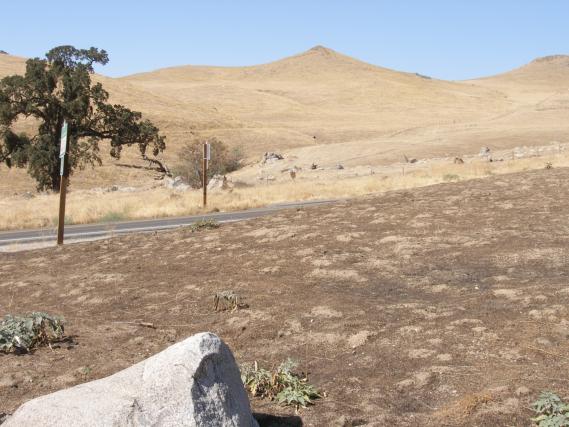
| 20:06, 27 July 2010 | Photo Caliente2.jpg (file) |  |
1.08 MB | Shannon | Photo of Caliente region along Route 223. | 1 |
| 20:05, 27 July 2010 | Photo Caliente.jpg (file) |  |
49 KB | Shannon | Photo of Caliente region along Route 223. | 1 |
| 20:05, 27 July 2010 | Region Caliente.png (file) |  |
34 KB | Shannon | Region map of Caliente. | 1 |
| 20:05, 27 July 2010 | Topo Caliente.png (file) |  |
104 KB | Shannon | Topographic map of Caliente region. | 1 |
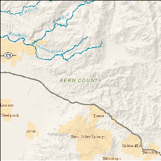
| 20:00, 27 July 2010 | Region GrapevineCr.png (file) |  |
30 KB | Shannon | Region map of Grapevine Creek. | 1 |
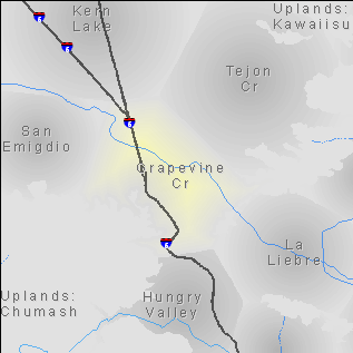
| 19:59, 27 July 2010 | Topo GrapevineCr.png (file) |  |
90 KB | Shannon | Topographic map of Grapevine Creek region. | 1 |
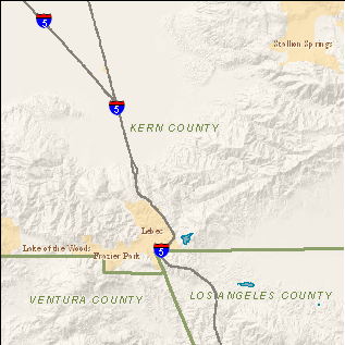
| 19:58, 27 July 2010 | Region SanEmigdio.png (file) |  |
23 KB | Shannon | Region map of San Emigdio. | 1 |
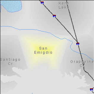
| 19:57, 27 July 2010 | Topo SanEmigdio.png (file) |  |
66 KB | Shannon | Topographic map of San Emigdio region. | 1 |
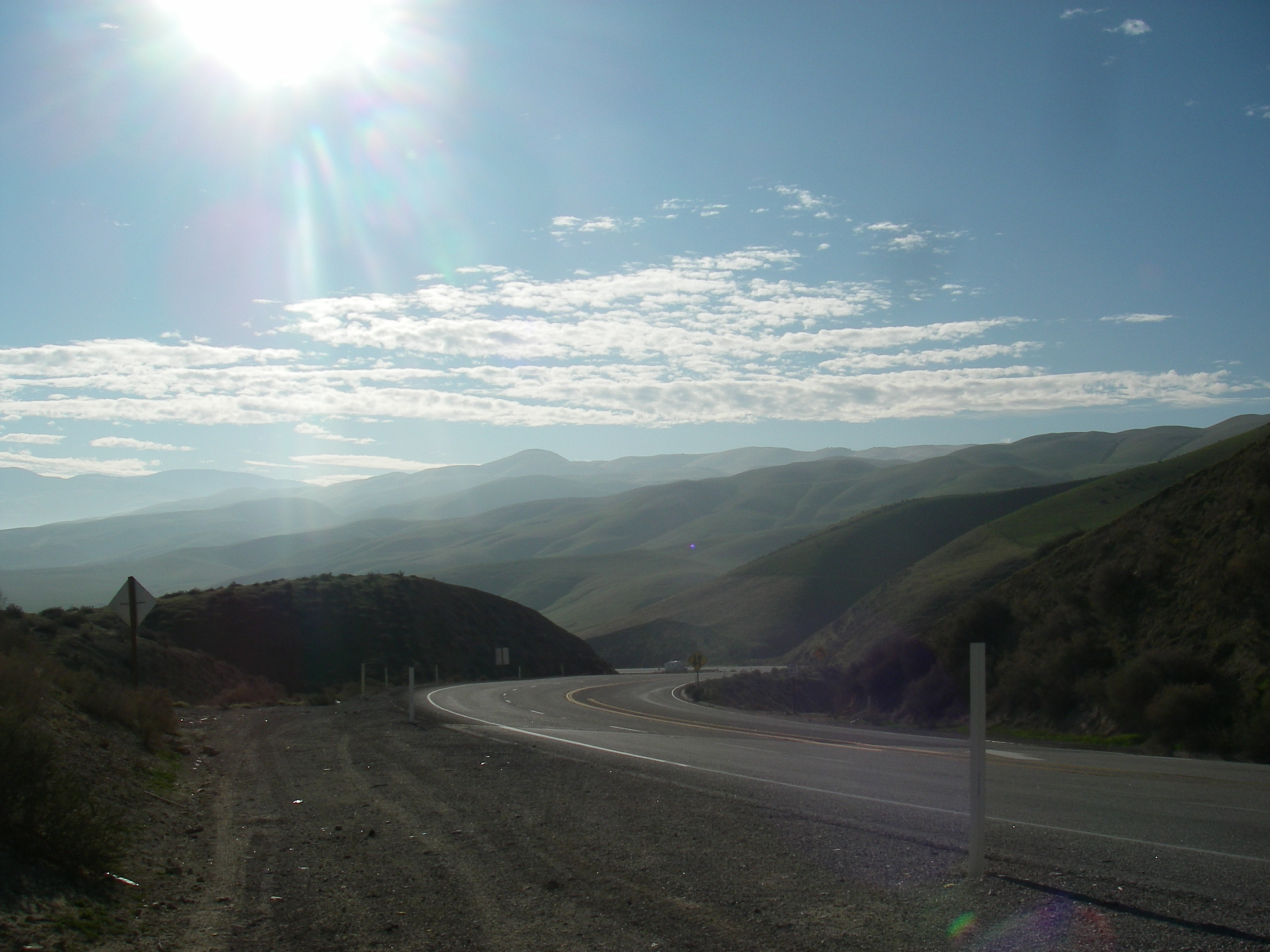
| 19:55, 27 July 2010 | Photo SantiagoCr.jpg (file) |  |
1.16 MB | Shannon | Photo of Santiago Creek region along Route 33. | 1 |
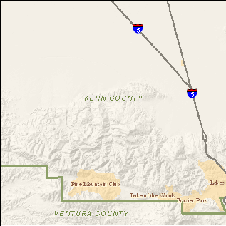
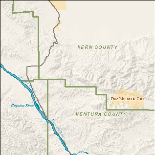
| 19:53, 27 July 2010 | Region SantiagoCr.png (file) |  |
26 KB | Shannon | Region map of Santiago Creek region. | 1 |
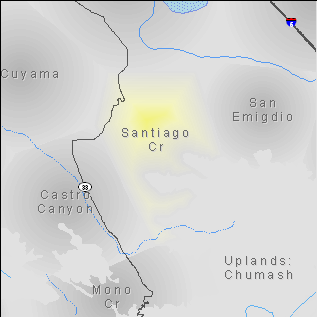
| 19:53, 27 July 2010 | Topo SantiagoCr.png (file) |  |
92 KB | Shannon | Topographic map of the Santiago Creek region. | 1 |
| 22:31, 26 July 2010 | Vol13-cover.png (file) |  |
141 KB | Shannon | Volume 13. | 1 |
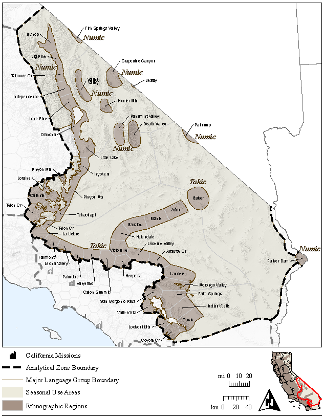
| 21:54, 26 July 2010 | Vol13-fig1.png (file) |  |
326 KB | Shannon | Southeast Analytical Zone with Regions. | 1 |
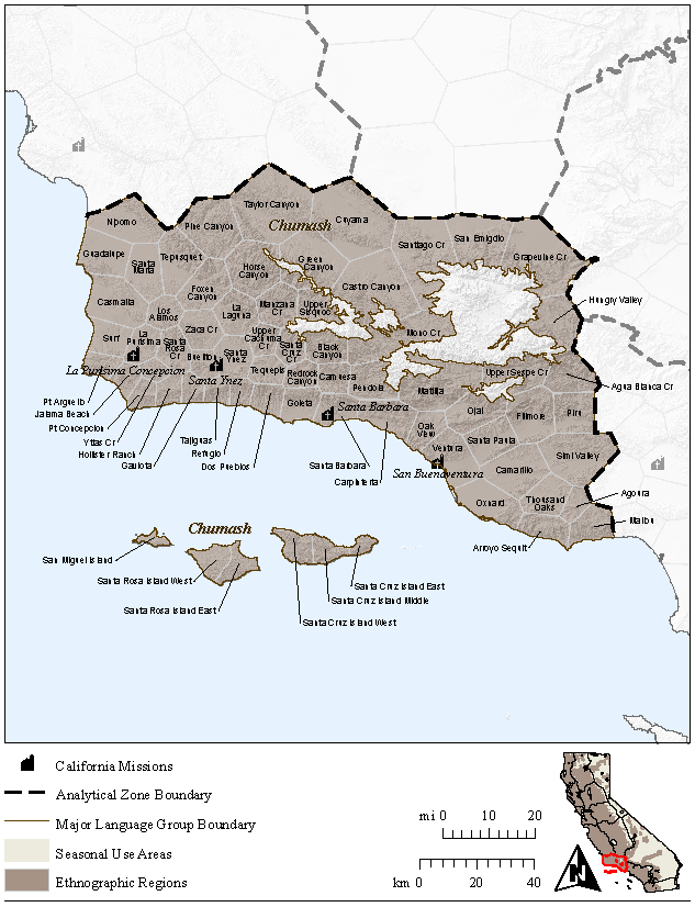
| 21:53, 26 July 2010 | Vol11-fig1.png (file) |  |
315 KB | Shannon | Santa Barbara Channel Analytical Zone with Regions. | 1 |
| 21:46, 26 July 2010 | Vol11-cover.png (file) |  |
145 KB | Shannon | Volume 11. | 1 |
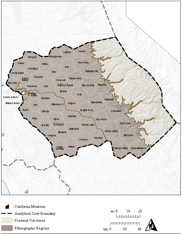
| 20:23, 26 July 2010 | Vol8-fig1.png (file) |  |
287 KB | Shannon | Delta/North San Joaquin Analytical Zone with Regions. | 1 |
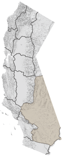
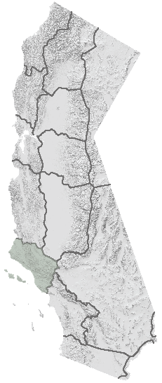
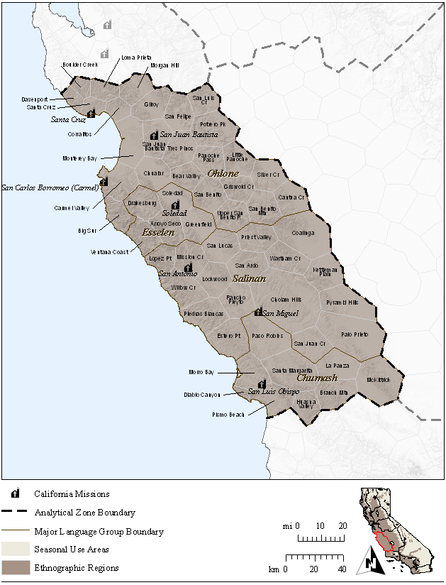
| 20:22, 26 July 2010 | Vol10-fig1.png (file) |  |
203 KB | Shannon | South Coast Ranges Analytical Zone with Regions. | 1 |
| 20:01, 26 July 2010 | Vol10-cover.png (file) |  |
145 KB | Shannon | Volume 10. | 1 |
| 19:18, 26 July 2010 | Vol8-cover.png (file) |  |
145 KB | Shannon | Volume 8 | 1 |
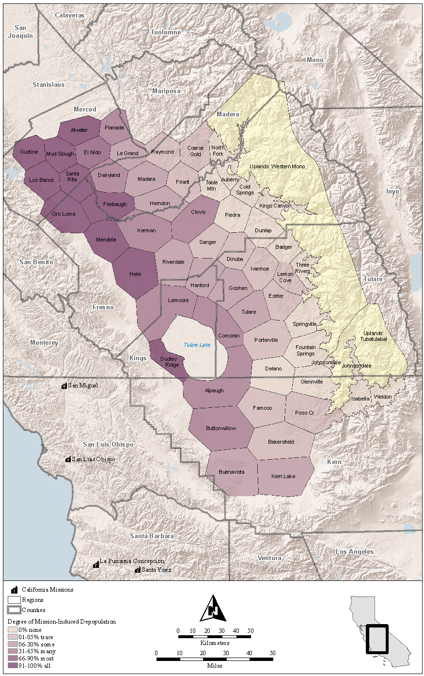
| 18:35, 21 June 2010 | Vol9-fig3.png (file) |  |
1.89 MB | WikiSysop | Degree of Mission-Induced Depopulation in the South San Joaquin Analytic Zone. | 1 |
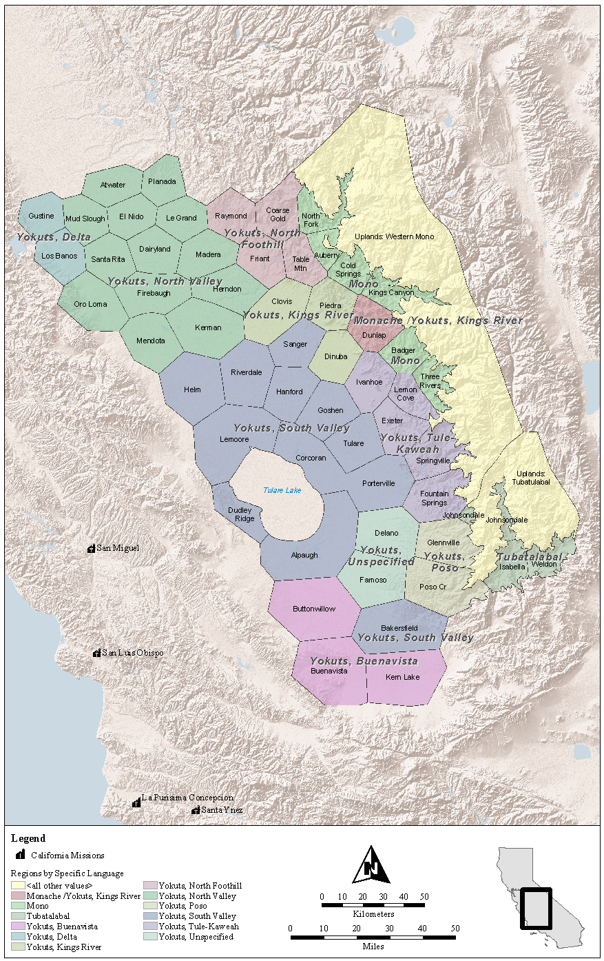
| 18:34, 21 June 2010 | Vol9-fig2.png (file) |  |
1.79 MB | WikiSysop | Community Distribution Model Regions by Language Group. | 1 |
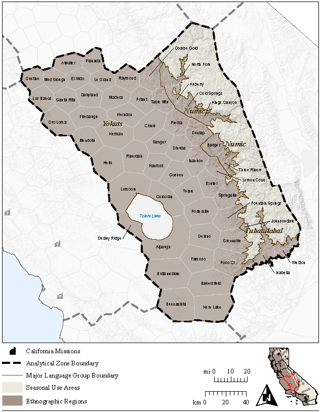
| 18:33, 21 June 2010 | Vol9-fig1.png (file) |  |
414 KB | WikiSysop | South San Joaquin Analytical Zone with Regions. | 1 |
| 17:59, 21 June 2010 | Vol9-cover.png (file) |  |
145 KB | WikiSysop | Volume 9 | 1 |
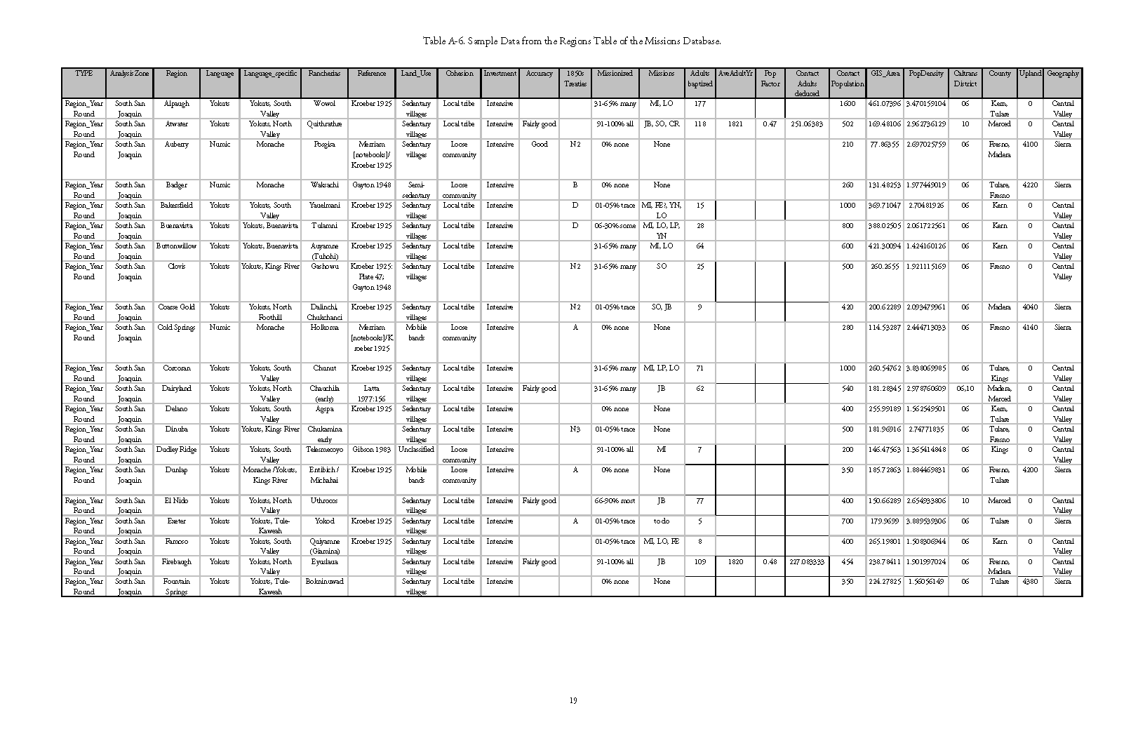
| 17:26, 21 June 2010 | Vol1-appA-tableA-6.png (file) |  |
46 KB | WikiSysop | Sample Data from the Regions Table of the Missions Database. | 1 |
First page |
Previous page |
Next page |
Last page |